
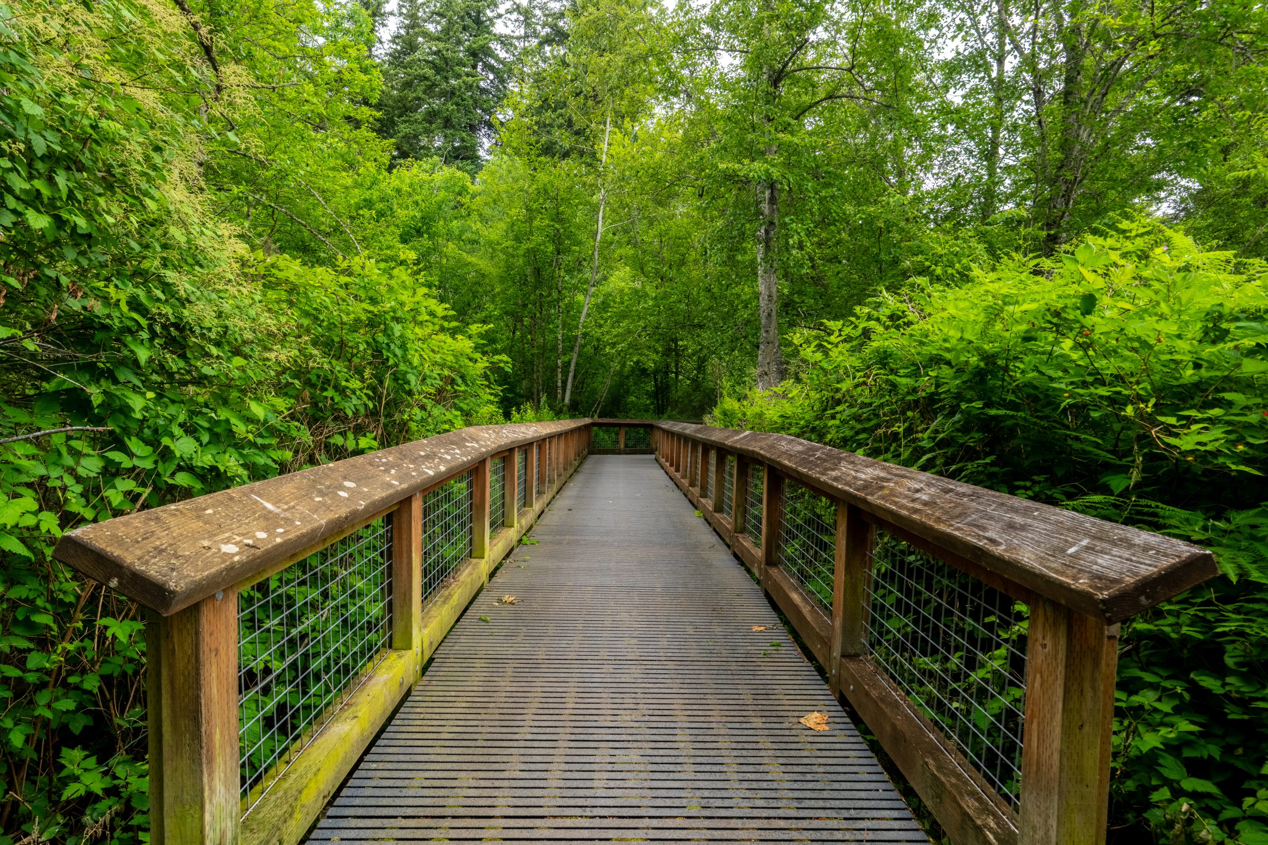
Bellingham's Neighborhood Trail Guide: 9 Best Hikes and Walks
Ask anyone who lives here what they love about Bellingham, and a trail usually comes up within the first minute. What surprises people moving here is how close the trails are to everyday life. In a lot of neighborhoods, the trailhead is part of the commute, the dog walk, or the after-dinner loop.
Here are our favorites, from easy strolls to real climbs, plus what you need to know before you go. Where a trail sits inside a Bellingham neighborhood, we have noted it, because for a lot of our clients, trail access is the reason they choose where to live.
I grew up on Indiana Street, right across from Cornwall Park. Every fall, my grandpa would take me to the huge chestnut trees at the top entrance, and we would step on the spiky shells to pop them open and get to the shiny, smooth nuts inside. Something so small, but it is the reason I still love chestnut trees.
– Samantha
Lake Padden Loop
Quick Facts
Distance: 2.6-mile loop
Surface: Wide gravel path
Dogs: Leashed on the main loop, with off-leash trails and an off-leash area at the east entrance
Also: Horseback riding trails
Connects to: A west-side trail into Fairhaven
Parking pass: None needed
Hours: 6 a.m. to 10 p.m. daily
Neighborhood: Samish
Address: 4882 Samish Way
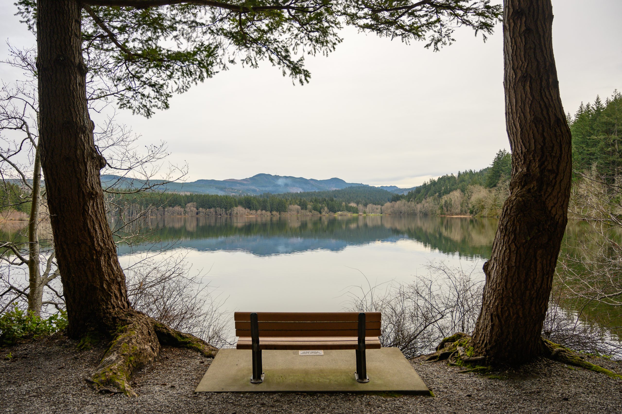
Lake Padden is the trail most locals would name first. The 2.6-mile loop circles the lake on a wide gravel path, and the 745-acre park around it adds forest trails, off-leash trails for dogs, horseback riding trails, a playground, a golf course, and docks. It is easy enough for a daily walk and pretty enough that you will not get tired of it.
For a longer route, one of the trails on the west side of the park connects into Fairhaven, so a lap around the lake can turn into a much bigger outing.
Lake Padden Park is in the Samish Neighborhood. If daily trail access is high on your list, Samish is worth a close look.
Whatcom Falls Park
Quick Facts
Trails: About 4 miles
Elevation gain: About 50 feet
Dogs: On leash, plus an off-leash area
Also: Fish hatchery, playgrounds, picnic shelters
Connects to: Railroad Trail, Barkley area trails, Whatcom Creek Trail
Parking pass: None needed
Hours: 6 a.m. to 10 p.m. daily
Neighborhood: Whatcom Falls
Entrances: 1401 Electric Avenue, and Silver Beach Road off Lakeway Drive
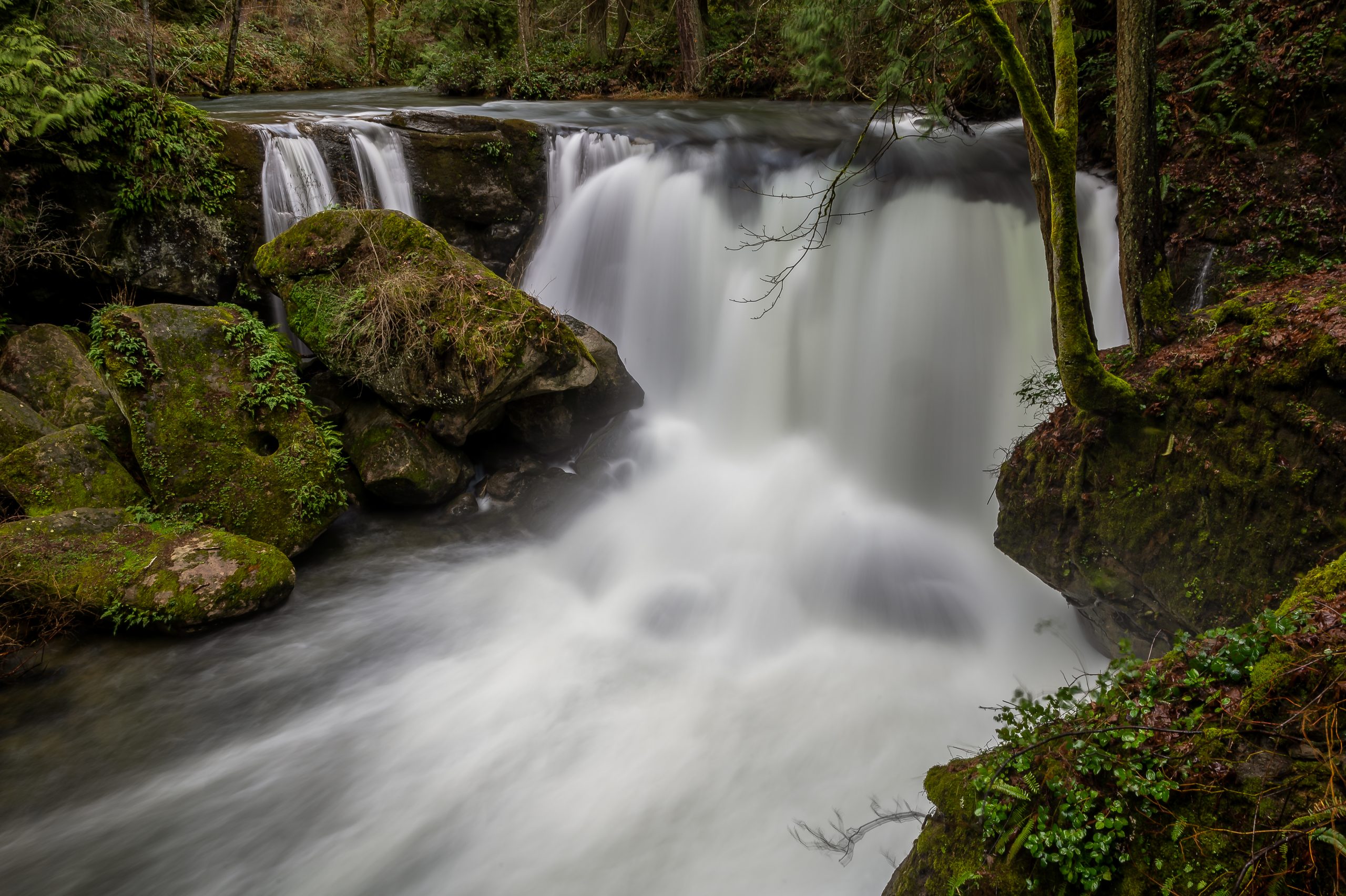
A stone bridge built by the WPA crosses Whatcom Creek about 100 yards from the parking area, with a view of the falls right from the bridge. Beyond it, forested trails follow the creek, and the park adds a fish hatchery, playgrounds, and picnic shelters. It is one of the best places in town for a short walk with kids or visiting family.
Want to go farther? To the northeast, the park connects with the Railroad Trail, which links into the trails around Barkley. The Whatcom Creek Trail also heads west from the park toward Bellingham Bay, so you can turn a short walk into a much longer one.
Whatcom Falls Park is in the Whatcom Falls Neighborhood. If you want a creekside forest walk close to home, it is a neighborhood worth a look.
Sehome Hill Arboretum
Quick Facts
Trails: About 6 miles
Elevation gain: About 325 feet
Size: About 175 acres of forest
Dogs: On leash
Also: 80-foot observation tower, sandstone tunnel from 1923
Connects to: Western Washington University campus
Parking pass: None needed
Hours: 6 a.m. to dusk
Neighborhood: Sehome
Main entrance: Bill McDonald Parkway at 25th Street
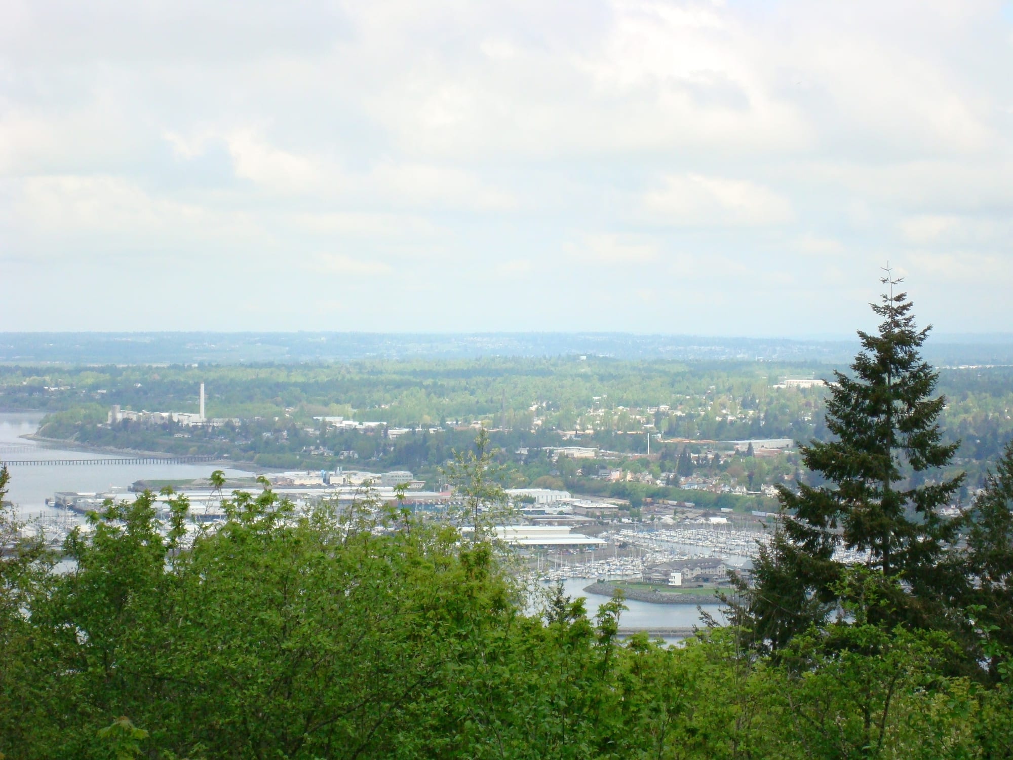
This roughly 175-acre forest sits right next to Western Washington University, and it feels miles from town even though it is in the middle of it. Trails wind up to an 80-foot wooden observation tower at the top of Sehome Hill, and the Tunnel Ridge Trail passes through a tunnel cut from sandstone in 1923.
Several side trails lead onto the WWU campus, so the arboretum is easy to fold into a longer walk through the neighborhood.
Sehome Hill Arboretum is in the Sehome Neighborhood, with walk-in access from several nearby streets as well as the main entrance on Bill McDonald Parkway.
South Bay Trail
Quick Facts
Distance: About 2 miles each way
Elevation gain: Flat, about 20 feet
Dogs: On leash
Also: Taylor Dock boardwalk over Bellingham Bay
Connects to: Downtown Bellingham and historic Fairhaven
Parking pass: None needed
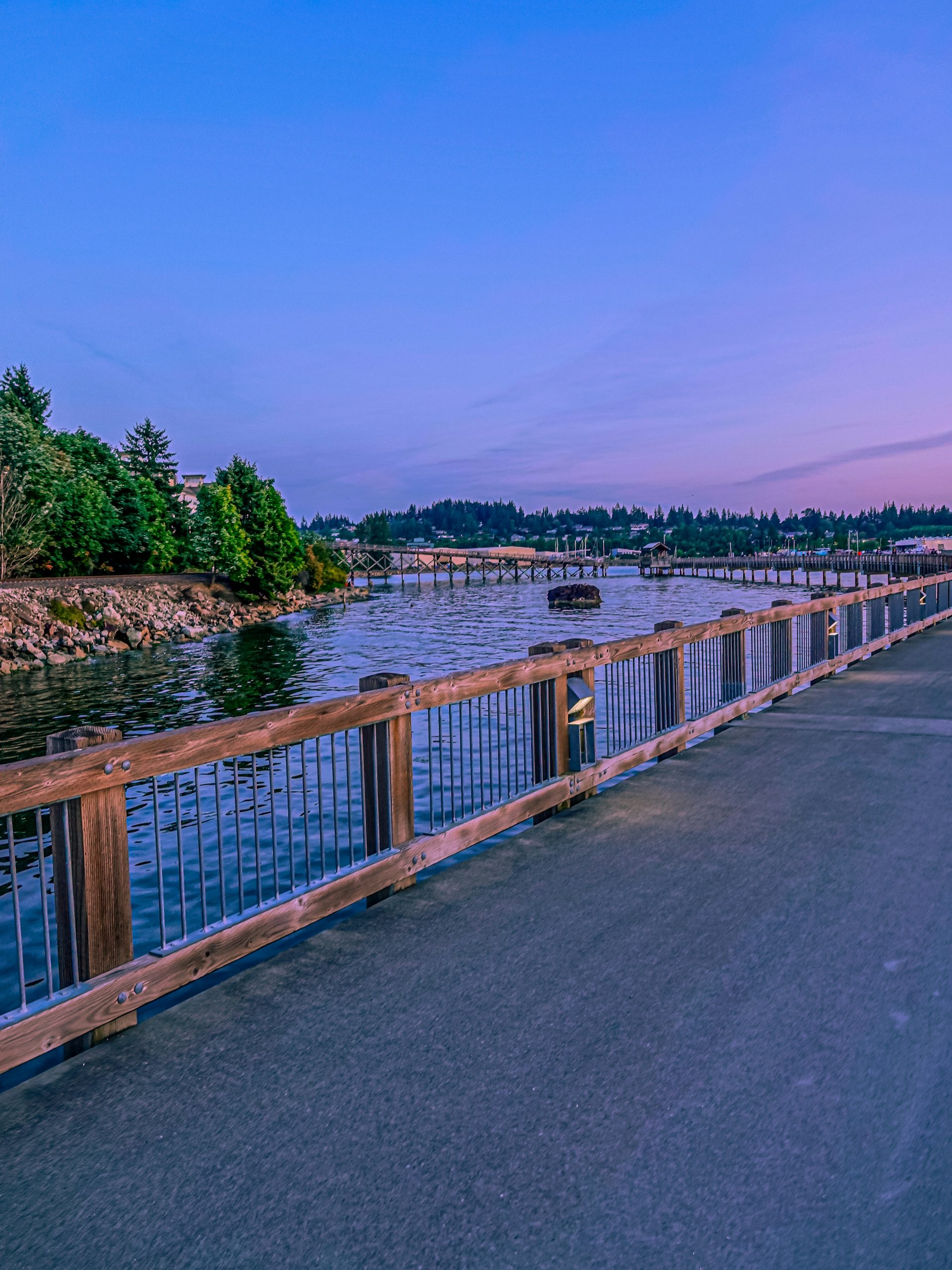
Built on an old railway grade, the South Bay Trail connects downtown Bellingham with historic Fairhaven along the waterfront. Along the way it passes through Boulevard Park and crosses Taylor Dock, a boardwalk that extends out over Bellingham Bay. It stays nearly flat the whole way, so you get water views without a climb.
Walk it one direction, grab a coffee, and walk back.
The trail runs between downtown and the Fairhaven Neighborhood, so homes near either end have it close by.
Interurban Trail
Quick Facts
Distance: 11.8 miles round trip for the full trail
Elevation gain: About 300 feet
Dogs: On leash
Also: Waterfalls along Arroyo Creek, side loop to Hoag’s Pond
Connects to: Fairhaven Park, Arroyo Park, Larrabee State Park
Parking pass: Discover Pass at the Larrabee State Park trailhead
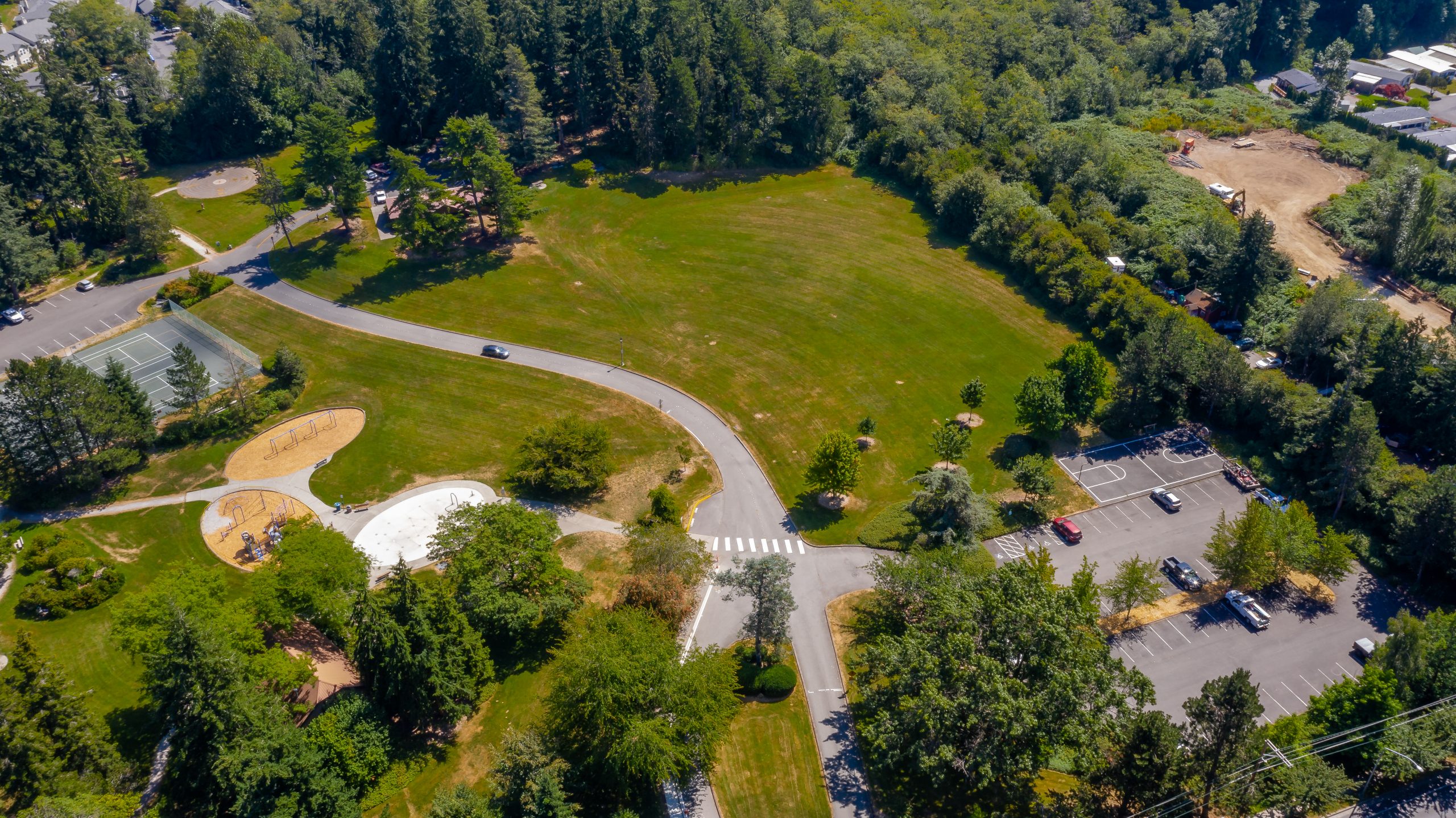
The Interurban runs south from Fairhaven Park through the forested Chuckanut area to Larrabee State Park. You do not have to do it all at once. Trailheads at Fairhaven Park, Arroyo Park, and Larrabee make it easy to pick a section that fits your day.
Look for waterfalls along Arroyo Creek, views of Chuckanut Bay, and a 0.6-mile side loop to quiet Hoag’s Pond. Some stretches follow private gravel roads where residents have allowed hikers, so stay on the main trail.
The north end starts at Fairhaven Park, which makes this an easy trail to reach from homes in and around Fairhaven.
Stimpson Family Nature Reserve
Quick Facts
Distance: About 4.9 miles round trip across two connected loops
Elevation gain: About 300 feet
Size: 350 acres of old-growth forest and wetland
Dogs: Not allowed (no bikes or horses either)
Also: Half-mile loop around Geneva Pond
Parking pass: None needed
Entrance: Lake Louise Road
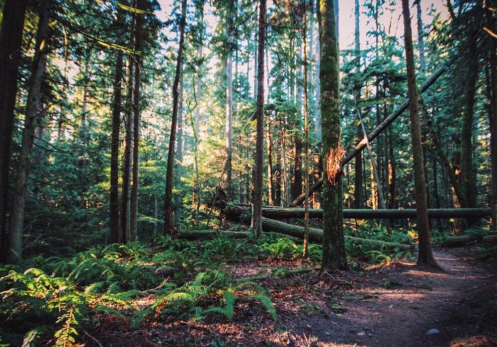
For old-growth forest without the crowds, this is the spot. The 350-acre reserve in the Lake Whatcom watershed has a half-mile loop around Geneva Pond and a longer main loop through undisturbed forest and wetland.
Dogs, bikes, and horses are not allowed, which keeps it one of the quietest trails in the area. Keep an eye out for wildlife along the way.
The signed entrance is on Lake Louise Road.
Galbraith Mountain
Quick Facts
Trails: About 65 miles
Highest point: 1,785 feet
Good to know: Trails are shared with mountain bikers
Also: 2,182 acres protected for public recreation
Parking pass: None needed
South trailhead: Large lot across from Galbraith Lane off Samish Way (180+ stalls, restrooms, horse trailer parking)
North trailhead: Birch Street off Lakeway Drive (small lot plus street parking)
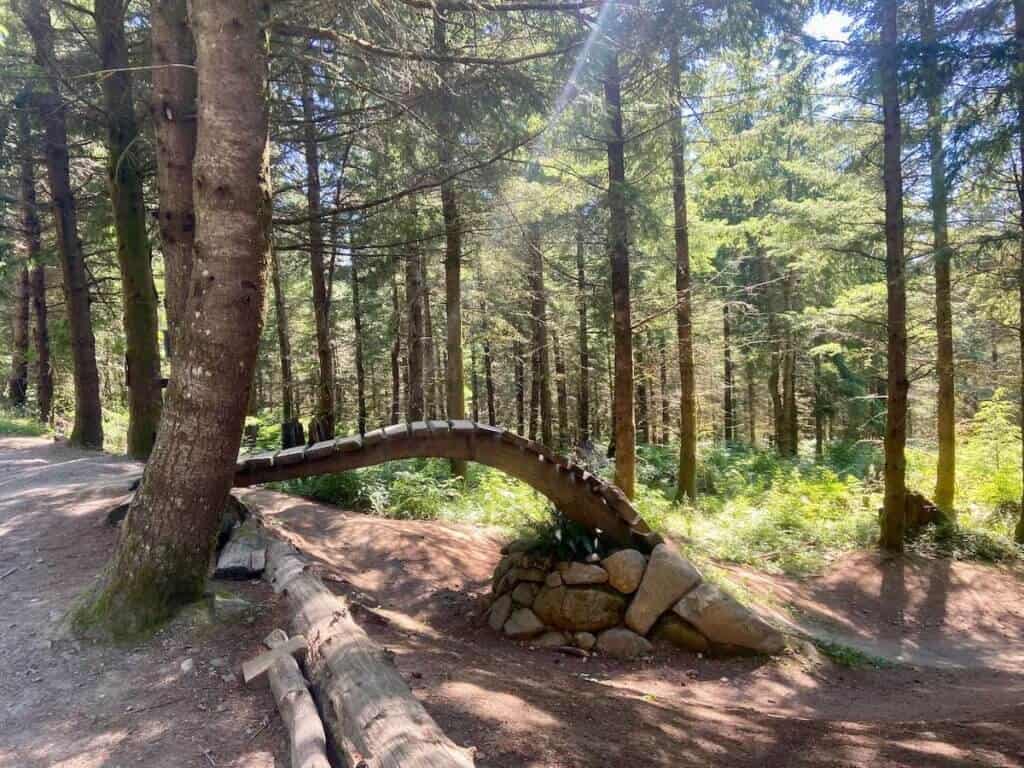
Galbraith is nationally known as a mountain biking destination, and the Whatcom Mountain Biking Coalition maintains its trails. Hikers and trail runners use it too. Just know the right-of-way rules before you go, since you will be sharing the trail with bikes.
A 2018 agreement between the City of Bellingham, Whatcom Land Trust, and Galbraith Tree Farm secured public recreation on 2,182 acres permanently, so this network is here to stay.
There are two main ways in. The south trailhead, across from Galbraith Lane off Samish Way, has a large lot with more than 180 stalls, restrooms, and horse trailer parking. The north trailhead on Birch Street, off Lakeway Drive, has a small lot plus street parking and can fill up on weekends.
Fragrance Lake
Quick Facts
Distance: 4 miles round trip
Elevation gain: 1,260 feet
Dogs: On leash
Also: Viewpoint over Samish Bay and the San Juan Islands, 0.6-mile loop around the lake
Parking pass: Discover Pass required
Trailhead: Chuckanut Drive, across from the main entrance to Larrabee State Park
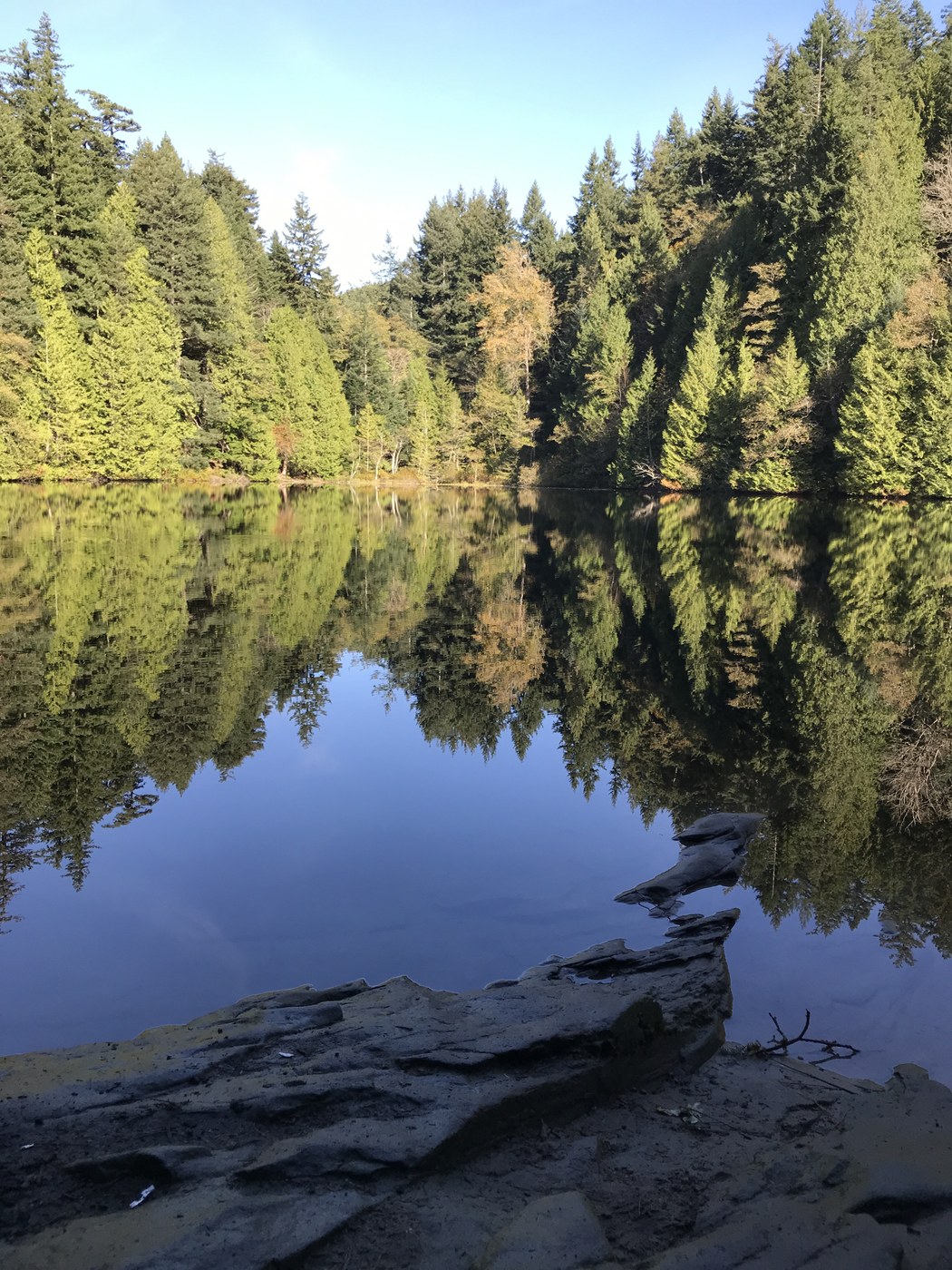
This trail starts on Chuckanut Drive, across from the main entrance to Larrabee State Park. It climbs through old-growth forest to a viewpoint over Samish Bay and the San Juan Islands, then continues to a quiet lake with a 0.6-mile loop around the shoreline.
It is a real workout, but a manageable one, and WTA lists it as good for kids. Once the flat loops in town start to feel easy, this is a great next step.
Bring a Discover Pass, since it is required in both parking lots.
Oyster Dome
Quick Facts
Distance: 5 miles round trip
Elevation gain: 1,050 feet
Highest point: 2,025 feet
Dogs: On leash
Also: Views of the San Juan Islands, Samish Bay, the Skagit River flats, and the Olympic Mountains
Parking pass: Discover Pass required
Trailhead: Samish Overlook parking area on Blanchard Mountain
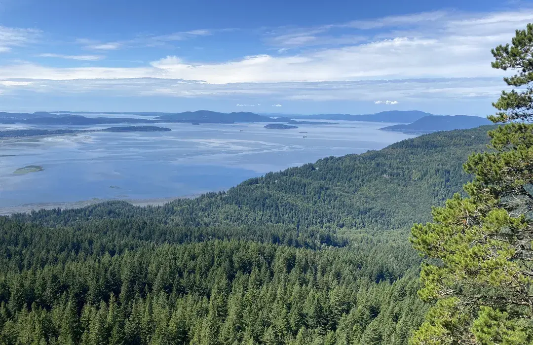
Oyster Dome is the view everyone talks about. On a clear day, the top looks out over the San Juan Islands, Samish Bay, the Skagit River flats, and the Olympic Mountains. Keep an eye out for paragliders, too. They are often seen taking off from here.
Start from the Samish Overlook parking area on Blanchard Mountain. The Washington Department of Natural Resources asks hikers to use that trailhead instead of the unofficial access point on Chuckanut Drive.
At 2,025 feet, it reaches the highest point on this list, so save it for a clear day and bring a Discover Pass.
Living Close to the Trails
In Bellingham, you don’t have to choose between a great neighborhood and great trail access. Often, you get both. Whether it’s a morning lap around Lake Padden, an evening walk on the South Bay Trail, or a weekend climb up Oyster Dome, the right home can put your favorite trail into your everyday routine.
When you start looking for a home here, it helps to know what kind of trail person you are. Some people want a park they can walk to with the dog every morning. Others want to be close to the Chuckanut trailheads, or near enough to Galbraith to ride there. And some just want a quiet loop for an after-dinner walk. Knowing which one sounds like you makes it much easier to narrow down the neighborhoods that will truly fit your life.
We’re Ian and Samantha Cross, Bellingham natives and Windermere agents, and we grew up on these trails. We know how different each part of town feels, from the waterfront paths in Fairhaven to the forest trails around Lake Padden and Whatcom Falls.
If living close to the trails is part of your plan, we would love to help you find the right home. Reach out through our website, and let’s talk about which Bellingham neighborhood fits you best.


© 2026 Windermere Real Estate
Ian Cross, WA Real Estate License #20118935 | Samantha Cross, WA Real Estate License #20121767 | Windermere Real Estate
